We awoke to an overcast sky and light drizzle but didn't let that dampen our spirits as we headed out to explore the city on foot. Quebec City is situated on Cape Diamond, a promontory edged by a sheer cliff that rises 300 feet above the St. Lawrence River. The city is divided into Lower Town at the base of the cliff and Upper Town on top of the cliff. The old, historic walled city (the only walled city left in North America) is in Upper Town. Modern residential and commercial areas spread out along the river valley. Our hotel was in Lower Town so we began by walking up...
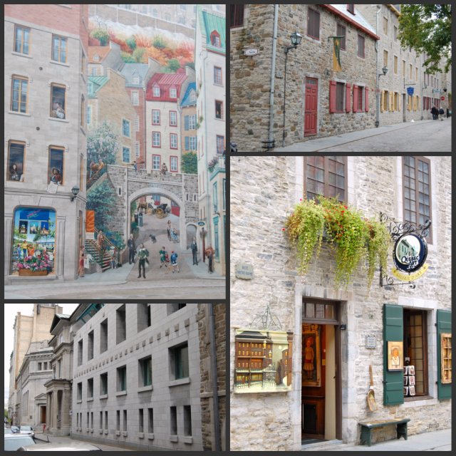
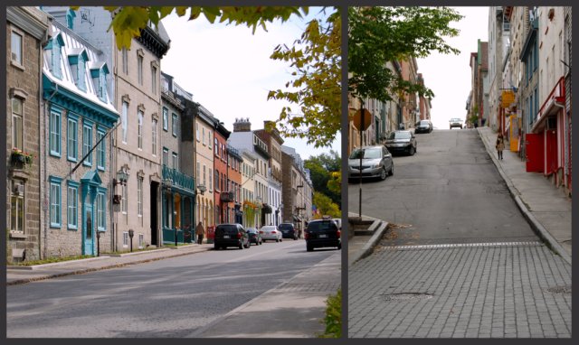
I love the clean lines of the block buildings next to the roughness of the stone buildings. The streets are lined with quaint houses and businesses with the buildings butting up against each other. A few blocks from our hotel, before we started the big climb UP, we passed a building with a huge mural (upper left photo) on the side. The four seasons are depicted as well as life in Quebec City.
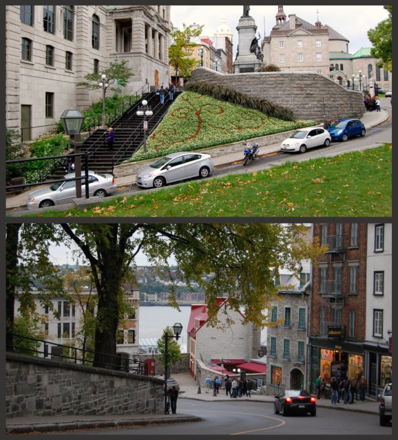
None of the pictures do justice to the steepness of the streets- a definite defensive advantage!
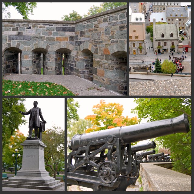
After a little huffing and puffing we finally made it to what I thought was "the top." We walked around the small park area admiring the view and inspecting a portion of the wall. The people below us looked very small- the photo on the top right is NOT an optical illusion!
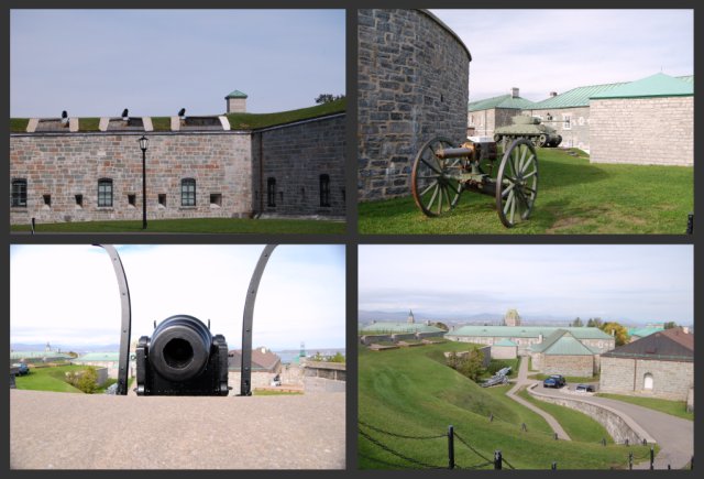
Cannons, looking quite menacing, lined the wall at the high ground of the park area while a taller wall with long open slits to poke muskets/rifles out of wrapped around the lower ground. It was easy to imagine soldiers manning their posts, waiting for an attack. In the middle of the park were benches, pigeons and statues... things you would see in any park in any city on a peaceful day. The contrast was stark.
We continued walking uphill past homes, shops, cafes, restaurants and outdoor vendors. Although the houses and shops are all connected- in other words, "row houses"- each one is distinct with its own charm and character. It would seem that having each one painted a different color would make a chaotic mess but they really blend together with harmony and beauty to create unity. It reminded me of the unity that God's people share despite coming from different ethnicity, financial means, social status, giftedness, talents and jobs.
Some of the row houses looked like single family homes, others looked like they had been converted into two or three apartments. All of them looked vintage!
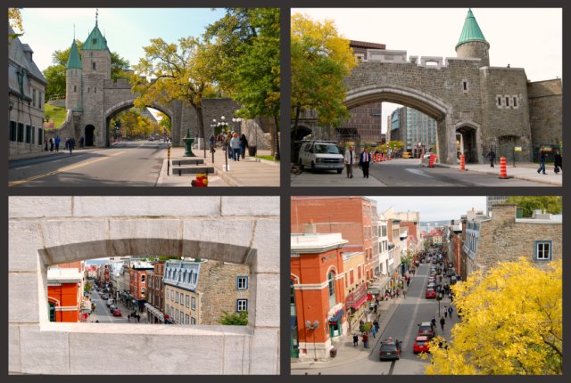
The French were not expecting the British to attack by scaling the cliffs but that's exactly what they did in 1759 when British soldiers captured the city. The Treaty of Paris was signed in 1763 and the King of France ceded to the British Crown "Canada and all its dependencies." Then the United States attacked Quebec TWICE! The first time was in 1775-76 when American Revolutionary War soldiers, wanting to liberate the captive French (since Quebec was now a British colony), tried to invade Quebec. The Americans were defeated in the Battle of Quebec in 1776. Later, in the War of 1812, the United States declared war on Great Britain and attacked its colony, Canada, over westward expansion. The Americans were again defeated and Quebec remained under British rule. By the end of the 1800's, Quebec had decided their fortification was not needed. Gates were installed to allow citizens to pass freely through the city and buildings began cropping up near the wall.
The two top photos are the same gate from different sides of the street. The two bottom photos are taken from the top of the gate. As I walked up the stairs to the top of the gate I couldn't help but think of the many soldiers who had walked there before me.
The top left photo shows the outside wall facing the city. I thought it was interesting that the Citadel was built to serve as a refuge for authorities and British troops if the French inhabitants of the city tried to revolt as well as to defend the city against invaders.
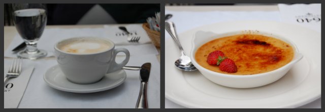
After all this walking around, we needed an afternoon pick-me-up...
... and what could be more French than indulging in a latte and crème brûlée at an outdoor cafe!
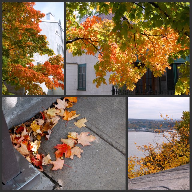
Although we didn't get to see the changing of the guard at the Citadel (they only do that during the summer for the tourists), we did get to see many trees changing color.
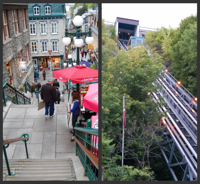
We walked up and down the streets of Old Quebec City. Most of the streets are built with an incline but some of the strictly pedestrian streets are terraced with stairs going from level to level. There is also a funicular (or incline railway) to move people up and down.
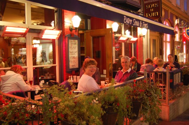
As dusk approached, we stopped at a French restaurant for dinner. The weather was beautiful and we elected to dine outside.
I asked the woman sitting at the table next to us to take our picture. That started a conversation with her and her husband that lasted through dinner. They had just completed a cruise and were returning home to Indianapolis the next day. After hearing French or French-accented English all day, it was delightful to hear good ol' American English again!
It was a wonderful day exploring Quebec City- soaking up the French influences and local color. After we returned to our hotel, we discovered we had walked a little over six miles as we explored the city. No wonder my feet hurt!
No comments:
Post a Comment